


Survey
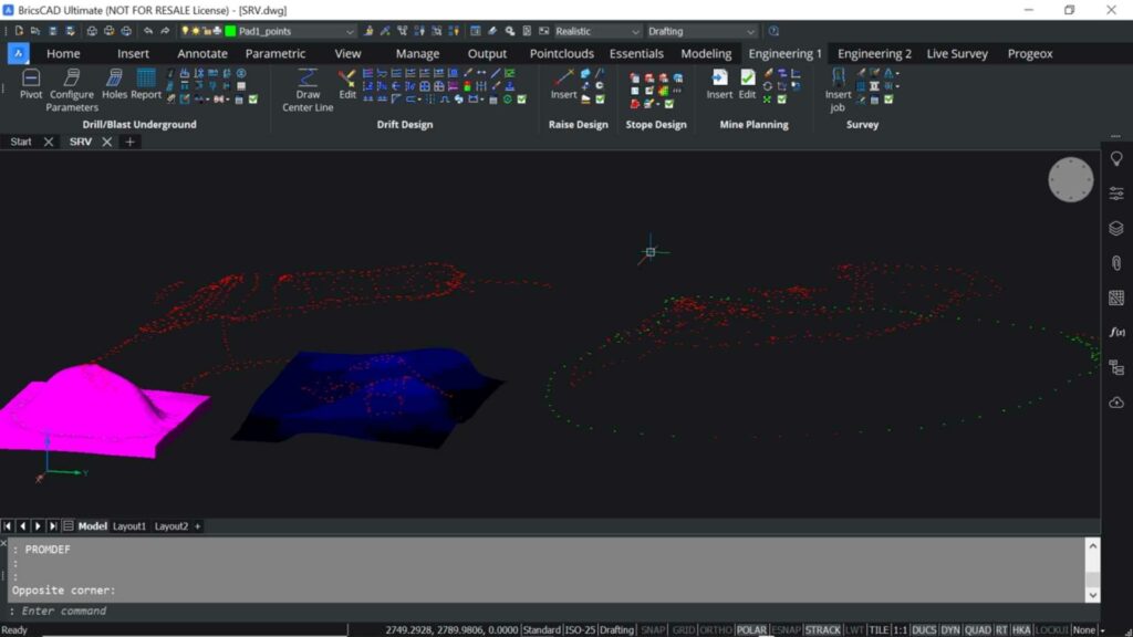
Import CSV, Geodimeter, TXT, XYZ and many more survey file types. Connect to a database to store all stations or import them into the drawing. Clearly visualize survey point elevations by using CAD’s attribute feature.

Efficiently update your mine workings through survey data.
Compatible with ![]()

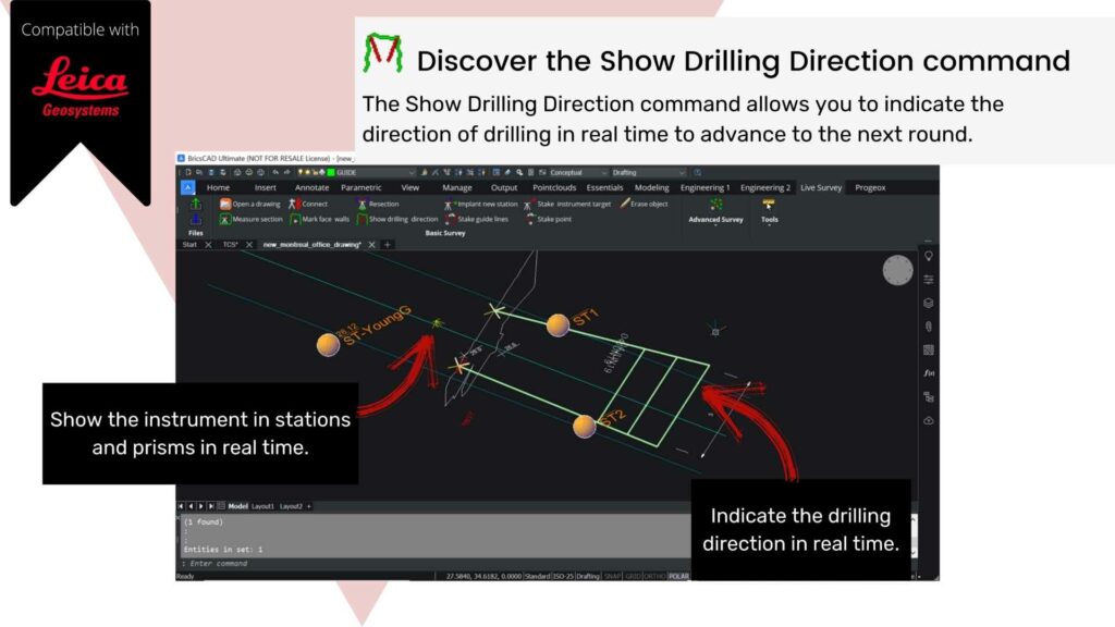


Compatible with ![]()