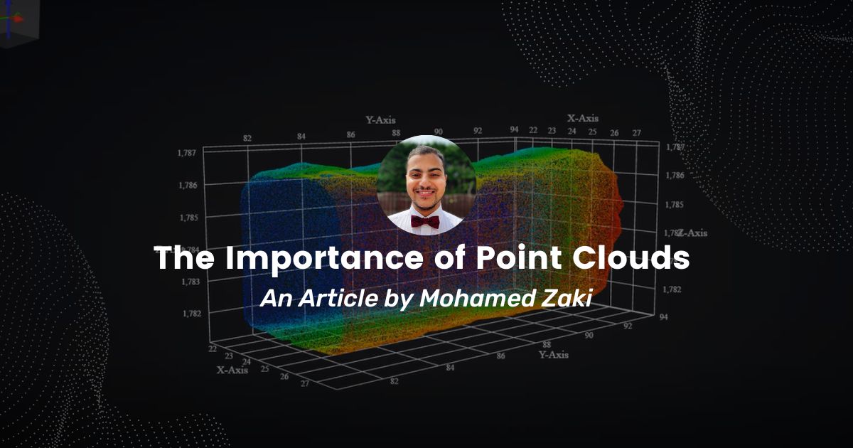
Point cloud visualization is a powerful tool that has become increasingly important in a wide range of industries, from architecture and engineering to virtual reality and video game development. This technology allows users to visualize and manipulate large sets of point cloud data, which is particularly useful for tasks such as 3D modeling, object recognition, and virtual environment creation. In this article, we will discuss some of the key features and benefits of point cloud visualization, and why it has become such an essential tool for professionals in a variety of fields.
First and foremost, point cloud visualization is a critical tool for professionals who need to work with large and complex data sets. Point cloud data is typically generated from LIDAR scans, photogrammetry, or laser scanning, and can include millions of points, making it difficult to analyze and work with using traditional 3D modeling tools. Point cloud visualization tools allow users to easily navigate through the data and manipulate it as needed, which is essential for professionals who need to explore and analyze the data in a way that would be impossible with other tools.
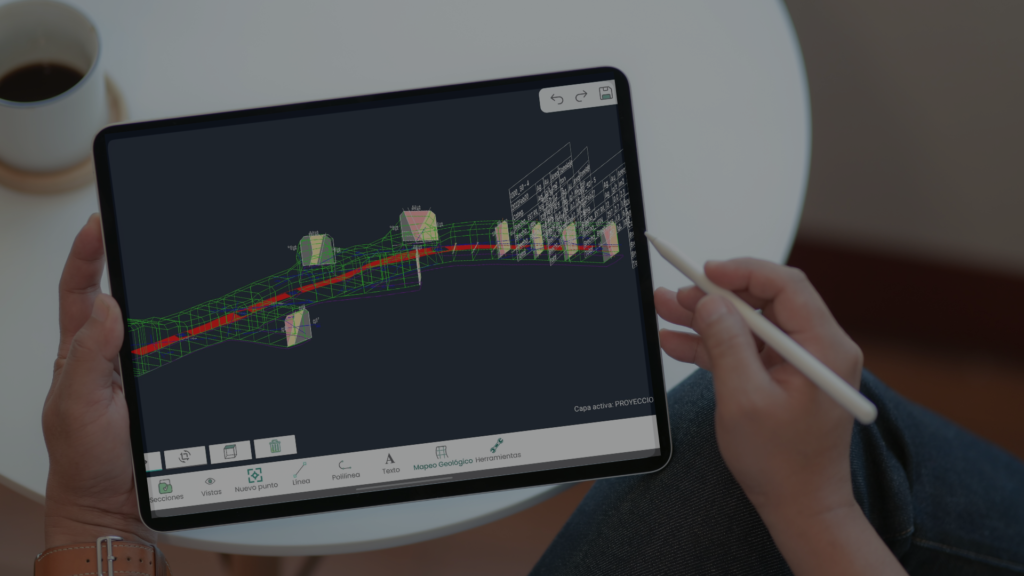
Another key benefit of point cloud visualization is that it allows users to generate highly detailed and realistic representations of the data. The tool uses a variety of visualization techniques to create detailed and realistic representations of the data, which can be extremely helpful for tasks such as virtual environment creation, object recognition, mapping a geological field, or modeling a 3D underground drift of a mine. For example, a virtual environment designer can use point cloud visualization to create a highly detailed 3D representation of a real-world location, which can then be used as the basis for a virtual reality experience. Similarly, a mine surveyor can use point cloud visualization to visualize a 3D drift in detail, facilitating the computation of volume and tonnage of the as-built drift.
Point cloud visualization is also an essential tool for professionals who need to work with large-scale data sets, such as those involved in city planning or environmental monitoring. The ability to visualize and analyze data in this way allows professionals to identify potential issues and make better decisions when it comes to planning and managing large-scale projects. It also allows them to collaborate more effectively with other professionals, such as architects, engineers, and urban planners, who may be working on the same project.
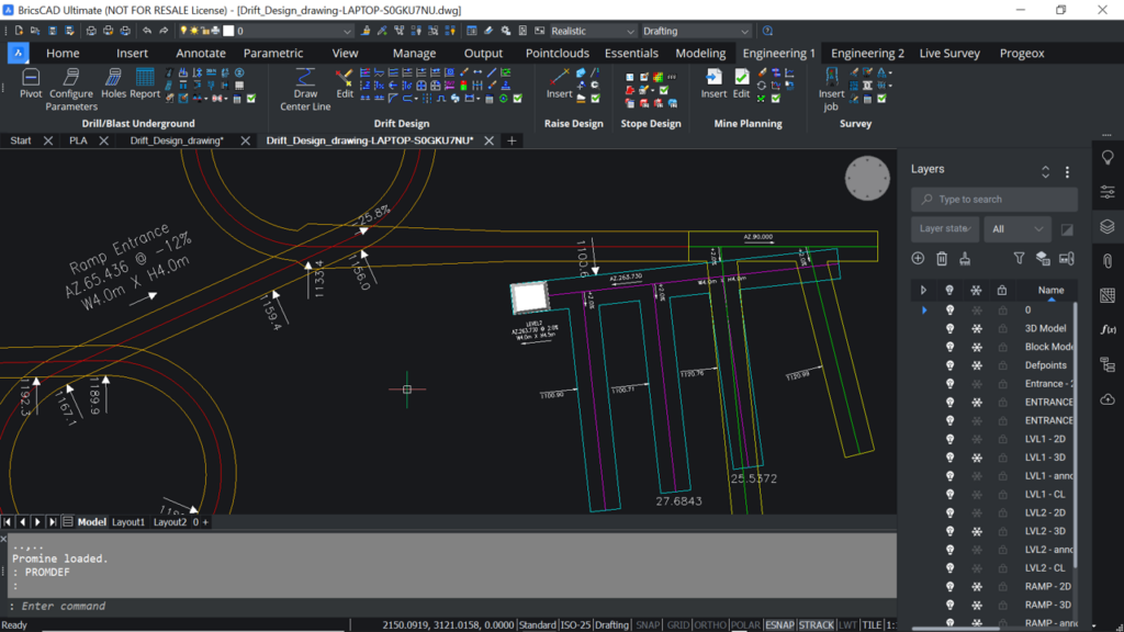
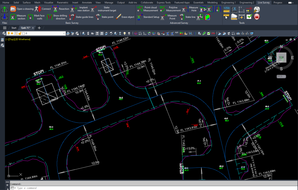
In addition to these benefits, point cloud visualization offers a range of advanced features that are designed to help professionals work with point cloud data more efficiently. For example, the tool includes a range of filtering and segmentation tools, which can be used to isolate specific objects or areas of interest within a point cloud dataset. It also includes a range of measurement and analysis tools, which can be used to extract specific information from the data, such as the distance between two objects or the surface area of a particular feature. These features are included in Proviz, Promine’s solution for point cloud visualization. This secure web application was developed specifically for users who want to visualize a large point cloud data set quickly and efficiently. Proviz allows you to import point cloud data files, save them in a secure cloud database, and export the final adjusted data in a reduced file size. Proviz is fully compatible with Promine, offering the ability to use more advanced tools for mine planning, drift design, and other tools for your day-to-day operation.
In conclusion, point cloud visualization is a highly versatile and powerful tool that has become increasingly important in a range of industries. Its ability to handle large and complex datasets, its advanced visualization and analysis features, and its user-friendly interface make it an essential tool for professionals who need to work with point cloud data. Whether you are an architect, an engineer, a virtual environment designer, or a machine learning researcher, point cloud visualization can help you to explore, analyze, and visualize point cloud data in new and innovative ways, making it an essential tool for anyone working in these fields.


