
In this Tip Of The Month, we use digitized survey data points to model meshes of a surface and a floor. In this example, we use a CSV file containing the east, north, and elevation coordinates of the points. The information is organized into layers to quickly identify each set of data points and to make our surface modeling more straightforward. Using the Survey Module from the Engineering Category, we quickly import those data points as blocks in BricsCAD. Using the Surfaces Module from the Modeling Category, we then proceed to create meshes of the floor and the surface using a triangulation method. The volume between surfaces can then be easily computed to determine the volume below and above the selected surface.

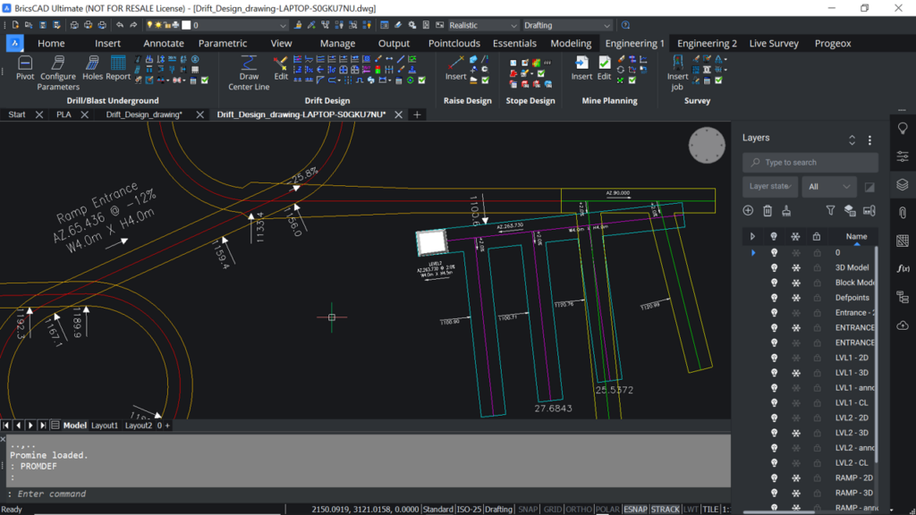
Underground Face Mapping with the Help of New Digital Technologies
Face Mapping is the process of systematically recording and analyzing the geological characteristics of the rock face or ore face as mining progresses. This process